Imagine the Chesapeake Bay watershed in its entirety. Six states. 64,000 square miles. More than 18 million people. A geography that stretches from the hills of Cooperstown, New York, to the broad saltmarshes of the Virginia coast. At any given moment, a seemingly endless number of variables are interacting across this vast landscape. How do they affect what goes on in the water?
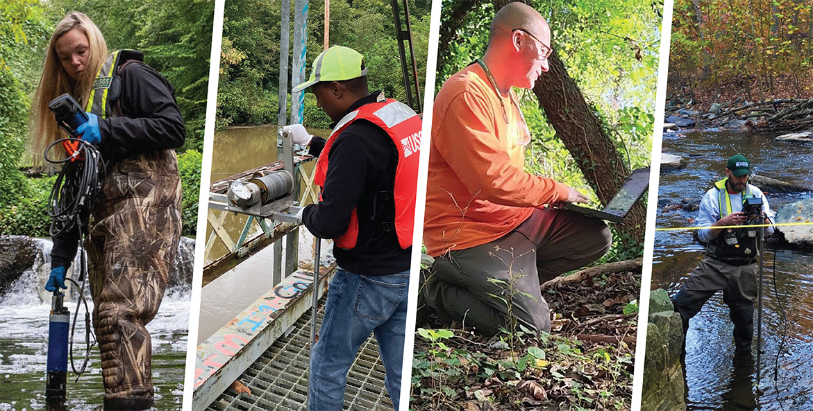
Scientists and researchers with the Chesapeake Bay Program partnership—the broad coalition of state, federal, academic, and nongovernmental organizations working to restore the watershed—use two primary tools to answer this important question: watershed modeling and water-quality monitoring. Monitoring captures information from specific points in space and time, which then inform the models that allow managers to fill the gaps between those points—painting a picture of the Bay, its rivers and streams, and the progress being made to restore them.
How is restoration measured?
The Chesapeake Bay Watershed Model is a computer model used to simulate how much nitrogen, phosphorus, and sediment pollution flows off the watershed’s landscape and where this pollution is coming from. It takes into account many different factors collectively chosen by the Bay partnership, such as land use, climate conditions, soil types, and human activities. It uses these data inputs to generate the best approximation of how actions on land affect the pollution going into waterways. The Watershed Model is used in conjunction with an Estuary Model that then estimates how the pollution affects water-quality conditions, including dissolved oxygen levels, chlorophyll a (a measure of algae), and water clarity.
In addition, there is a network of 123 monitoring stations across the watershed—called the Nontidal Network—that take regular samples of water quality and flow rates in the rivers and streams that feed the Bay. Some of these stations have been collecting information for nearly four decades, providing a long-term record of highquality data. These data are used to help inform and calibrate the models.
What is the difference between modeling and monitoring, and what do they each tell us?
Modeling and monitoring each provide important information for Bay restoration, but they answer different questions.
Monitoring provides a snapshot of realworld, waterquality conditions at a specific time and place in the watershed. Over time, monitoring data can be analyzed to decipher trends in water quality—for example, whether nitrogen or phosphorus pollution is increasing or decreasing. However, it does have drawbacks. First, it’s expensive and impractical to monitor everything, everywhere—so even a great monitoring network provides an incomplete picture of the watershed as a whole. Second, it doesn’t tell the “why” behind the data. For example, a monitoring station might catch a spike in nitrogen pollution, but it usually can’t distinguish where that nitrogen came from or what caused the increase.
Modeling, on the other hand, aggregates large amounts of data to replicate the watershed as a whole system. It can give complete, precise answers to questions that are relevant to resource managers working on restoration. For example, the model can be used to estimate the expected reduction in nitrogen pollution due to a change in landmanagement practices, or to show how pollution could shift under climatechange scenarios. It is therefore helpful for planning for the future. However, because it makes predictions about conditions that have not been measured, it can’t tell whether the prediction has occurred in real life.
How are watershed models and monitoring networks evolving?
The Chesapeake Bay region is widely regarded as having one of the world’s best monitoring and modeling efforts. And, over the four decades since the restoration effort began, growing knowledge and computing power have continually improved the system.
However, there are still many questions that the current systems can’t answer. One of the biggest remaining challenges is detecting the impact from management practices at a smaller watershed scale, which is critical to determine their individual effectiveness. There is also growing interest in efforts to link changes in water quality to monitored effects for fish, wildlife, and other living resources.
The Chesapeake Bay Program is already working on the next iteration of the Watershed Model, planned for release in 2027. Modelers have also been searching for usable data from thousands of additional monitoring stations across the watershed that may have been established under local, state, academic, or other organizations. While many of these have incomplete data, efforts are also underway to provide guidance for local monitoring networks to ensure future data collection is designed effectively to answer questions relevant to restoration.
The Chesapeake Bay Program recently released the Chesapeake Bay TMDL Indicator to give the public more insight into how monitored and modeled data compare, providing a fuller picture of restoration progress.
Check out other articles from the Spring 2024 edition of Save the Bay magazine.